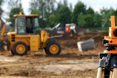
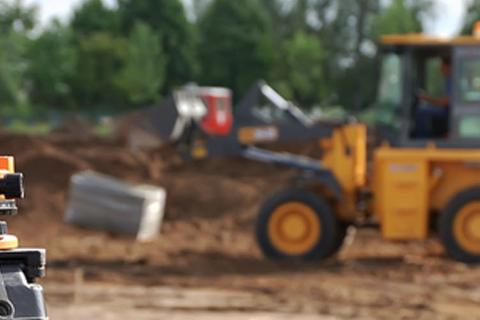
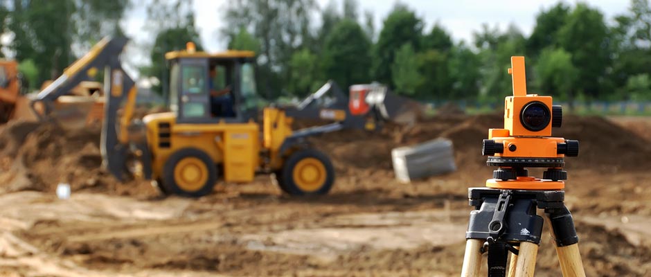
Geodetic surveys
Avtomagistrali - Tcherno More JSC has a geodetic survey team, which provides geodetic services related to vertical planning, measurement of land plots and other cadaster-related activities, as well as for development of the horizontal and vertical alignment of roads, structures and quarries by using geodetic instruments and aerial photogrammetry.
The company provides the following geodetic services:
- Development of a geodetic control network;
- Geodetic surveying and compilation of observation boards;
- Pegging out and development of layouts;
- Base levelling;
- Development reference and local survey networks;
- Vertical planning of construction sites and real estates (lands);
- Determination of construction line and levels with the respective records and field sketches;
- Digital modelling based on any graphic material.
The company has a full set of licensed software for processing of the collected geodetic survey data and its implementation in the design works, as well as for development and plotting of layouts.